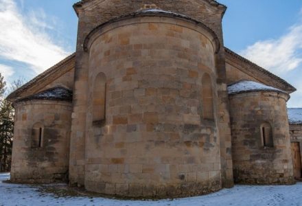
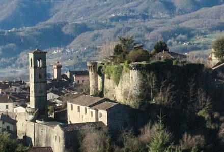
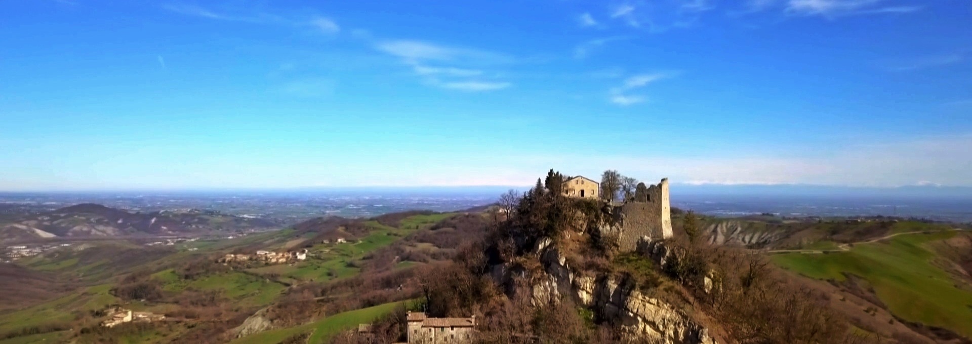
The Via Matildica

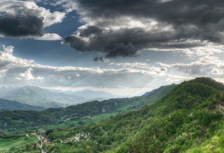
A 285-km-long trail that crosses three regions of Italy (Lombardy, Emilia-Romagna, Tuscany) rich in culture, tradition and landscapes, in 11 legs.

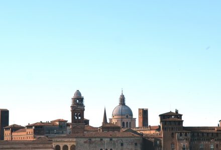
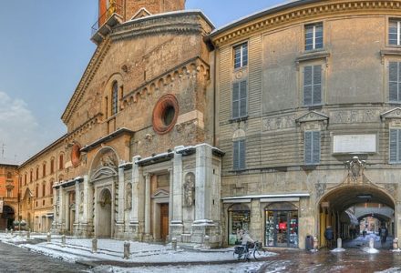
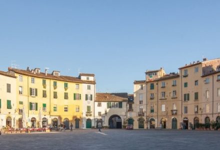
From Mantua to Lucca via Reggio Emilia.

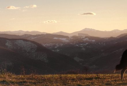
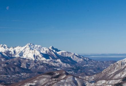
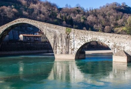
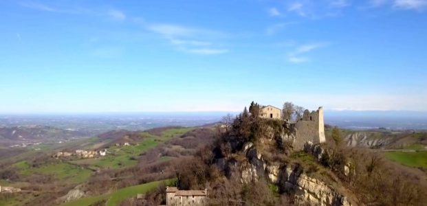
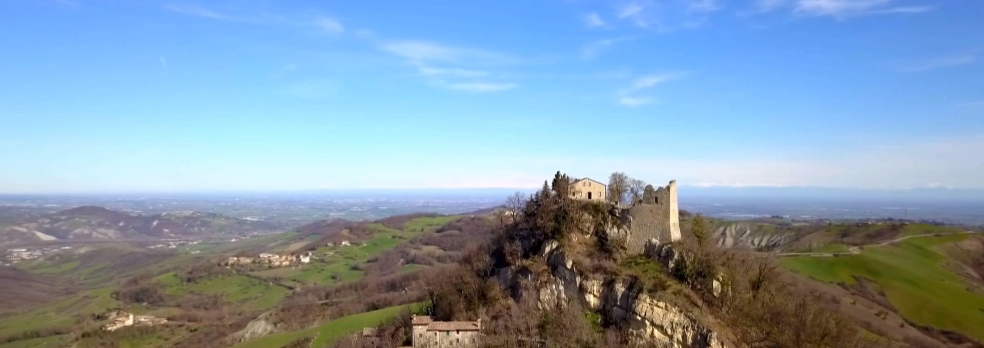
From the plains of the River Po, through the hills and mountains of the Tuscan-Emilian Apennine National Park, to the valleys of Garfagnana.

A path of discovery into the territories of Matilda of Canossa, to be tackled in its entirety or divided into its three historical sections:

  • the Via del Preziosissimo Sangue (from Mantua to Reggio in 3 legs);
  • the Cammino di San Pellegrino (from Reggio to San Pellegrino in Alpe in 5 legs);
  • the Via del Volto Santo (the Way of the Holy Face) (from San Pellegrino in Alpe to Lucca in 3 legs).

IMPORTANT: before planning or setting off on the Via Matildica contact us by email for the the official credential and up-to-date information on the route (ground conditions, temporary detours and other useful information) to take with you on your journey.

The Legs of the Via Matildica

Alle nützlichen Informationen, um die Etappen der Via Matildica zu bewältigen. Von den Spuren der Routen über die Sehenswürdigkeiten bis hin zu den Rastplätzen.
Leg No1: from Mantua to San Benedetto Po (23.9 KM)
The Via Matildica starts in Mantua, a World Heritage city, and continues through the landscapes of the Po as it winds its way through the Po Valley. It...
all information "Leg No1: from Mantua to San Benedetto Po (23.9 KM)"
Leg No. 2: from San Benedetto Po to Guastalla (34.7 km)
This is the longest leg of the entire Via Matildica, but the path is completely flat. It starts in San Benedetto Po and follows the cycle route along...
all information "Leg No. 2: from San Benedetto Po to Guastalla (34.7 km)"
Leg No. 3: from Guastalla to Reggio Emilia (31.7 km)
It’s time to leave behind the small capital of the Gonzaga family’s duchy of Guastalla and head towards Reggio Emilia, the city where the Tricolore (i.e. the famous...
all information "Leg No. 3: from Guastalla to Reggio Emilia (31.7 km)"
Leg No. 4: from Reggio Emilia to the Castle of Canossa (26.7 km)
As you leave the city of Reggio Emilia, you’ll head south, towards the gentle slopes of the Reggio hills to reach the heart of the Via Matildica at...
all information "Leg No. 4: from Reggio Emilia to the Castle of Canossa (26.7 km)"
Leg No. 4B: Reggio Emilia – Montalto (Alternative Route – 21.7 km)
From Reggio to Vezzano and from here to the EcoPark, instead of heading west towards the castle of Canossa, you can head south to reach the plateau of...
all information "Leg No. 4B: Reggio Emilia – Montalto (Alternative Route – 21.7 km)"
Leg No. 5B: Montalto to Carpineti (Alternative Route – 22 km)
Leaving the village of Montalto, it’s time to tackle the slopes of Monte Duro, a European Union site of interest, following paths and beaten tracks until the Castello...
all information "Leg No. 5B: Montalto to Carpineti (Alternative Route – 22 km)"
Leg No. 5: from Canossa to Carpineti (28.2 km)
Leaving the crag of Canossa behind, it’s time to enter Matilda’s Apennine territories towards the unmistakable outline of the Castello delle Carpinete, which dominates the entire Carpineti valley...
all information "Leg No. 5: from Canossa to Carpineti (28.2 km)"
Leg No. 6: from Carpineti to Toano (19.3 km)
From Carpineti you’ll climb up to the castle and then go back downhill towards the Secchia river, then back up towards the Apennines and the centre of Toano,...
all information "Leg No. 6: from Carpineti to Toano (19.3 km)"
Leg No. 7: From Toano to Gazzano (18.6 km)
This leg continues along the route towards the Apennine ridge, crossing an area where nature dominates, arriving at Gazzano, a town on the border between the provinces of...
all information "Leg No. 7: From Toano to Gazzano (18.6 km)"
Leg No. 8B: Gazzano – San Pellegrino in Alpe (Alternative Route – 17.6 km)
Leaving Gazzano, this route takes you to San Pellegrino in Alpe via Fontanaluccia and Madonna di Pietravolta, on a shorter and easier route than the Reggio Emilia route....
all information "Leg No. 8B: Gazzano – San Pellegrino in Alpe (Alternative Route – 17.6 km)"
Leg No. 8: from Gazzano to San Pellegrino in Alpe (22.4 km)
The highest and most demanding leg of the Via Matildica del Volto Santo, which touches the ridge of the Apennines before arriving at San Pellegrino in Alpe, the...
all information "Leg No. 8: from Gazzano to San Pellegrino in Alpe (22.4 km)"
Leg No. 9: from San Pellegrino in Alpe to Barga (32.8 km)
It’s time to leave the region of Emilia-Romagna and descend into Tuscany and, specifically, Garfagnana, a land rich in history and an integral part of the territories of...
all information "Leg No. 9: from San Pellegrino in Alpe to Barga (32.8 km)"
Leg No. 11: from Borgo a Mozzano to Lucca (29.4 km)
Towards the end of a great trek, walking amidst the olive groves of the valley floor, visiting the Pieve Matildica di Diecimo and admiring the spectacular views from...
all information "Leg No. 11: from Borgo a Mozzano to Lucca (29.4 km)"
Leg No. 10: from Barga to Borgo a Mozzano (18 km)
The route continues into the heart of Garfagnana from Barga and its Duomo, passing the Pieve di Loppia, the ancient Solco route, the village of Ghivizzano and on...
all information "Leg No. 10: from Barga to Borgo a Mozzano (18 km)"

The Via Matildica del Volto Santo

a great journey of faith and culture between Lombardy, Emilia-Romagna and Tuscany