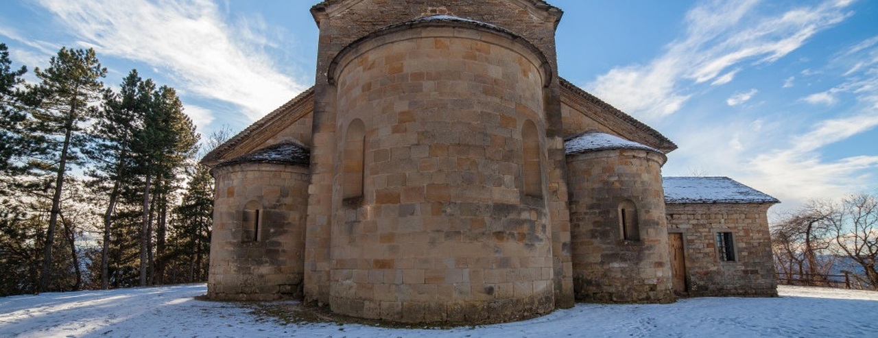
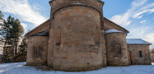
From Carpineti you’ll climb up to the castle and then go back downhill towards the Secchia river, then back up towards the Apennines and the centre of Toano, where the beautiful thousand-year-old parish church awaits you.
- Departure from: Carpineti
- Arrive at: Toano
- Distance: 19.3 kilometers
- Approximate journey time (without stops): 6 h 30 m
- Ascent: 890 meters
- Descent: 600 meters
- Download leg route in gpx format
- Map in pdf format to print
Leg description
From the centre of Carpineti, behind the church, take the path that climbs through the woods to Castello delle Carpinete. It’s a challenging uphill stretch of just under 2 km in length and about 200 m of uneven terrain.
From the castle, the next stop is the village of Savognatica. To reach it, the easiest and most immediate route (the one indicated on the map and in the gpx track) is along a paved road that descends for about 800 m on the provincial road until it meets the crossroads for Savognatica, which can also be reached via a path (currently not adequately signposted and with the possibility of high grass, from the nearby church of San Pietro). From Castello delle Carpinete, you can walk a short section of the Spallanzani path to reach the church of San Pietro.
From Savognatica, near a spring, you’ll initially descend to the left on a dirt road with a series of uphill and downhill stretches through the woods and over ravines until you reach the Coliolla woods, where you will briefly re-join the paved road.
Continue as far as the few houses in Coliolla with grassy, dirt and paved sections and, after crossing a farm, descend steeply, keeping to the left. From here and as far as the Secchia river, there are several steep and demanding downhill stretches, so take extra care.
Before the last downhill stretch towards the river, you’ll reach the few houses of Cavanna di Sopra. Here you have two options: the easier track, although slightly longer (this is the one shown on the map and in the gpx track) continues to the right on pavement, the shorter one on a path (often with high grass and passing near a dog breeding farm) to the left. Both lead to the Ponte dell’Oca bridge over the Secchia river, which you should cross to climb to Cavola, first on a couple of paved hairpin bends (take extra care here) then on a dirt road.
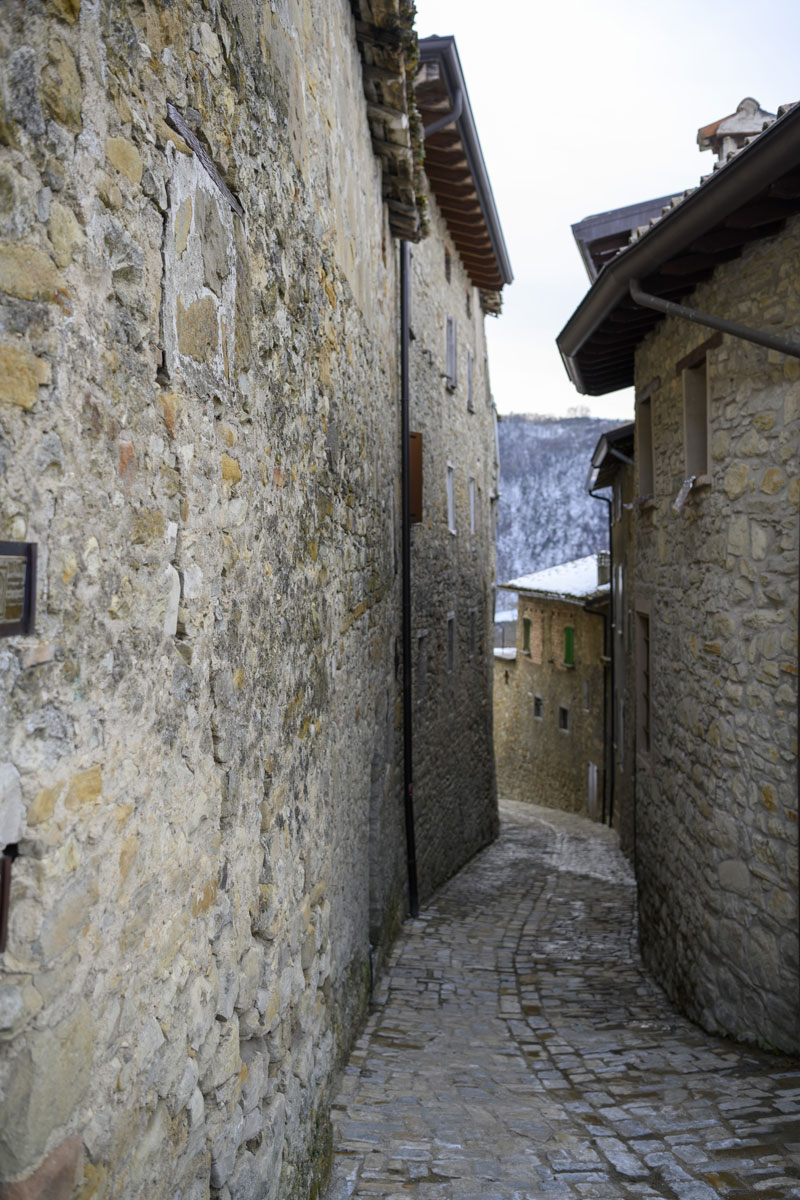
From Cavola, shortly after the church, near a farm, take the dirt road that will take you to Stiano, then to Corneto, Manno and finally Toano.
From Stiano you can also walk up a paved road directly to Toano. The route is shorter but does not pass through the villages of Corneto and Manno.
Useful information
Rest areas (water and food): the first 10 km of the route, leading to the Secchia river, have the fewest rest areas, so it’s a good idea to stock up on water, especially on hot days. Once you’ve crossed the river, you’ll find shops and café bars first in Cavola and then in Toano, the final destination for the day.
Access to public transport: in the first part of the route you can find a public transport stop at Savognatica, but with a very few services a day. Cavola and Toano are much better served.
Pharmacies: can be found in Cavola and Toano.
Where stay
In Toano, the stage arrival, we find some hospitality solutions.
ALBERGO RISTORANTE MIRAMONTI 3 stelle
Via Provinciale Est 5 – TOANO (RE)
Tel. 0522 805128
BAR RISTORANTE PIZZERIA LOCANDA LA COLLINA
Via Mutilati di Guerra 1 – TOANO (RE)
Tel. 0522 805166 – www.lacollinatoano.it
For large groups there are some holiday homes managed by the local parishes:
CASA VACANZE ‘LA CORTE DEL CASTELLO’
for groups of up to 50 people
Via Matilde di Canossa
(Per informazioni e prenotazioni Marisa Ghirardini 339.8972136 – Parrocchia di Toano 0522.805124)
CASA VACANZE SAN MICHELE ARCANGELO
Massa di Toano (Chiesa Parrocchiale)
Tel. 333.7867751 (Wainer) – 348.2862615 (Marco) – 331.6481962 (Gianni)
e-mail: info@casa-vacanze-smarcangelo.com
There are also B&Bs and a campsite in the nearby towns of Cavola and Quara.
What to visit
In Toano:
Along the way: