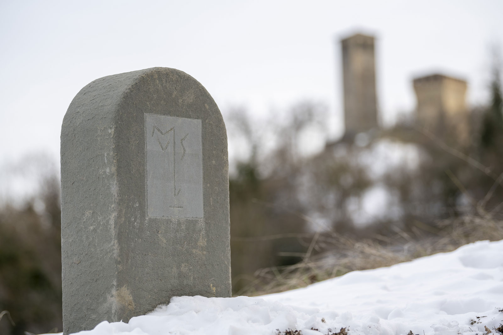

Leaving the crag of Canossa behind, it’s time to enter Matilda’s Apennine territories towards the unmistakable outline of the Castello delle Carpinete, which dominates the entire Carpineti valley from above.
- Departure from: Canossa
- Arrive at: Carpineti
- Distance: 28.2 chilometri
- Approximate journey time (without stops): 9 h
- Ascent: 1014 meters
- Descent: 977 meters
- Download leg route in gpx format
- Map in pdf format to print
Leg description
Starting from the Castello di Canossa, you’ll walk along paved roads on your ascent to the village of Cavandola, where the dirt road that leads to Cerredolo de Coppi begins on the right. On reaching the village (through which several paths pass), the Via Matildica takes the path to the village of Bergogno on the left.
It’s a shady stretch that crosses the Pentoma forest. The last part of the descent to the spring, before climbing back up to Bergogno, is steep and stony, so be careful.
Shortly after Bergogno, past the village sign, at a telephone pole the Via Matildica route turns abruptly to the right and then proceeds on a wide dirt road, first flat and then downhill.
Just before the end of the descent, take a sharp left turn into the woods (signposted) to then climb up a steep path to the locality of Crocicchio, where you’ll cross the paved provincial road again.
Climb up to the right on the paved road for 300 m. After the hairpin turns, you’ll find the path on the right that goes uphill and, after about 500 metres, briefly crossing the paved road again to then take the carriageable road that descends to the left towards Monchio.
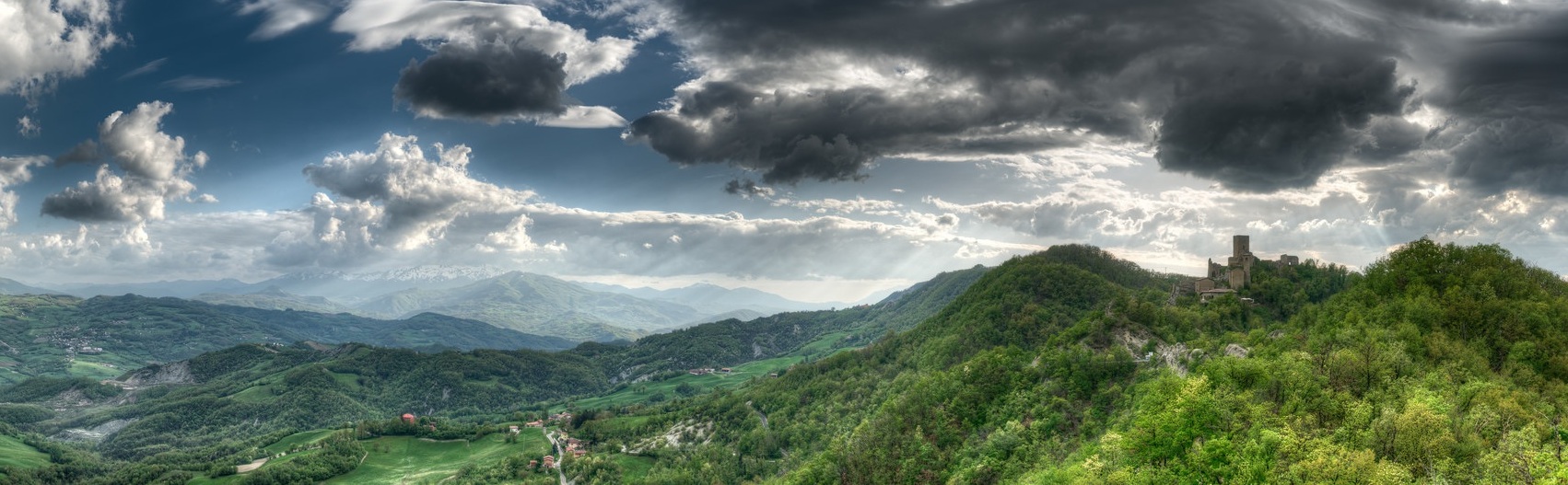
From Monchio (a very common place name in the Reggio Emilia Apennines), continue along the path towards the Sarzano Castle and Casina.
From the castle, there is a panoramic view of the entire Reggio Emilia Apennines.
From behind the castle, go downhill, keeping to the left, towards the first houses on the edge of Casina, a village where you can find all the necessary services (also buses to Carpineti in case of difficulty, but with few daily services).
rom the centre of Casina, in front of the town hall (where you will also find a drinking fountain), go downhill to the right along Via Roma and, keeping to the right, take Via Ca’ Matta. Stay on this road until you come to cross the small via Gramsci which steeply leads to the right (where you can also see an ancient dovecote) first on paved and then on a dirt road that passes by a telephone tower.
The road then leads down to Migliara in the area of the parish church. From there, continue towards the junction with Via Migliara Centro. From the underpass of Via Militare Lunigiana, continue in the direction of Marola, first along Via Alighieri and then, keeping to the right, along Via Boastra where signs point to “Castello”.
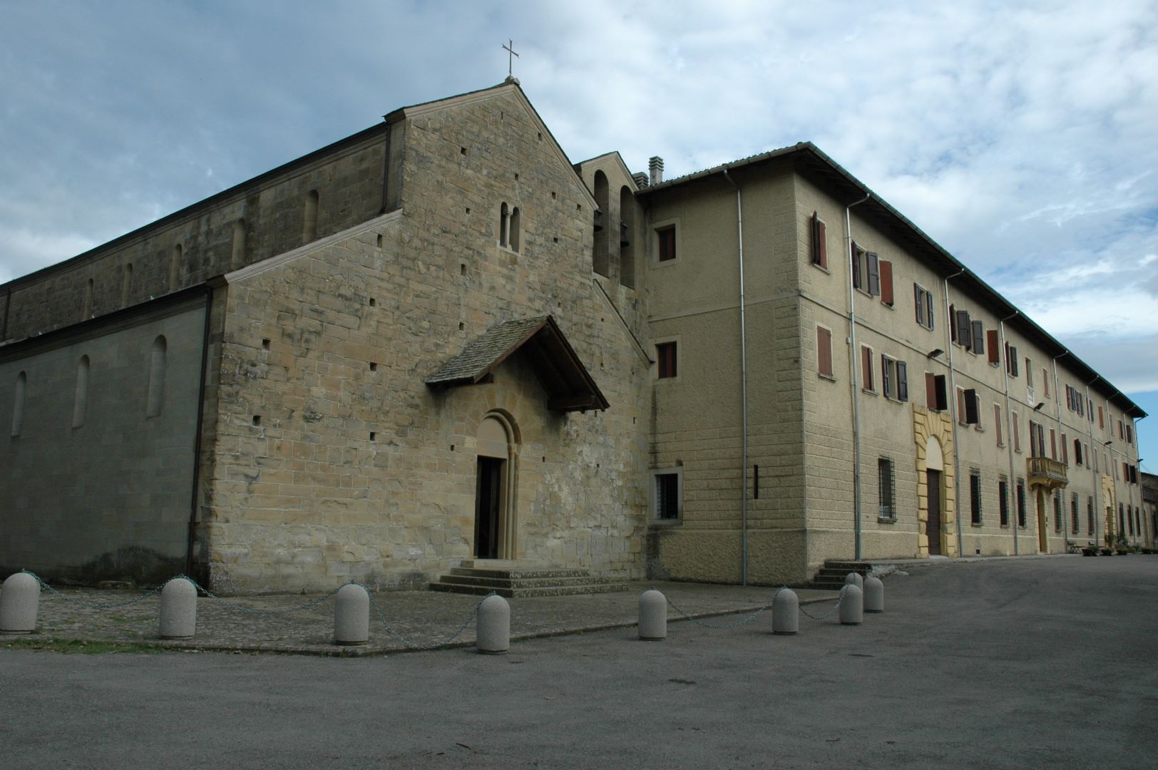
After 1.5 km, once you’ve reached a group of houses, the Via Matildica path climbs to the left leaving Via Boastra. You’ll find yourself on one of the paths that pass through Marola’s large chestnut groves. As you continue, you’ll come to an agritourism farmstead where the route veers to the left to join Via Canova, where you’ll climb up towards Via Poggio to the junction with the main road of Marola, which immediately intersects the road leading to the seminary and its beautiful church.
From the seminary, the paved road descends in the direction of Carpineti and towards the old route of State Road 63 (Statale 63), which you will cross at Campo dell’Oppio, to then take the path that leads down to Carezza, passing along the left side of a small farm.
At Carezza, re-join the paved road again, which will take you slightly downhill to the locality of Cigarello. You’ll see the outline of Castello di Carpineti ahead of you and it will accompany you on the rest of your journey.
At Cigarello, instead of following the road sign for Carpineti (busy road), turn right to reach the church of San Donnino, in the middle of a peaceful valley.
Across from the church, on the road, you can then cross the stream over a small concrete bridge (there are two bridges, one road bridge and a pedestrian one a few metres further on, both leading to Carpineti through the village of Riana).
Once on the outskirts of Carpineti, you can reach the town centre by taking Via I Maggio and then turning left into Via Crispi.
Useful information
Rest areas (water and food): this leg takes you into the Apennines and its wild but still inhabited and well-experienced territory. Along the entire route you will find local amenities and rest points and in particular at: Cerredolo de Coppi, Casina, Marola and Carpineti.
Access to public transport: the first public transport access point is at Cerredolo de Coppi and other stops are at Crocicchio and Carrobbio along provincial road 11 (Strada Provinciale 11 or SP11). There are not very frequent services during the day. You’ll find more services at Casina, which is located on the important axis of state road 63 (Statale 63). The outer-city service also stops at Migliara and Marola, in addition to the final stop at Carpineti, which has more frequent services.
Pharmacies: there are pharmacies in Casina and Carpineti
Where stay
The arrival leg of Carpineti offers some accommodation and overnight solutions.
- Residence Hotel Matilde
- Agritourism Le Scuderie
- Ostello della Pieve di San Vitale
- Camere del Castello
- Agritourism il Casante
- B&B Antichi Sapori
- Casale Monte Valestra
For those who break the leg into two parts, here are some hospitality solutions along the way to Casina and Marola:
- Locanda “Il Falco Pellegrino” at Sarzano Castle
- Albergo Ristorante Centrale at Casina
- Agritourism il Castello di Marola
- Albergo Ristorante Marola
- Agritourism Madonna della Corte at Crocicchio
- Il borgo del folletto at Crocicchio
- B&B Villacolle in Cortogno (shuttle service available)
What to visit
Along the way: